Western High Atlas 2006
Idioma/Language: English Español
Climbing the main summits in Western High Atlas during the year 2006: Jbel Toubkal, Timesguida, and Ras N'ouanoukrim (Ouanoukrim)
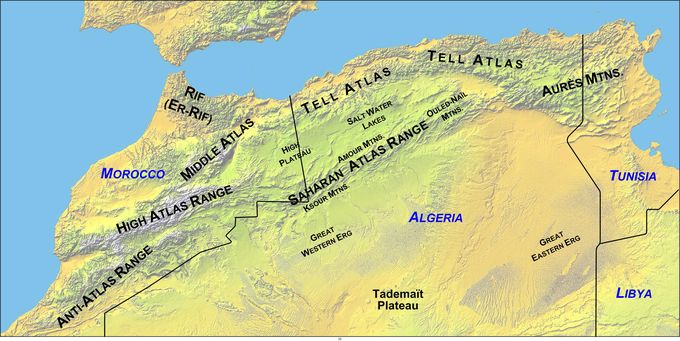
A large part of Morocco is mountainous. The Atlas Mountains are located mainly in the center and the south of the country. The Rif Mountains are located in the north of the country. Both ranges are mainly inhabited by the Berber people.
Source: Morocco, Wikipedia
The Atlas Mountains are a mountain range across a northern stretch of Africa extending about 2,500 km (1,500 miles) through Morocco, Algeria, and Tunisia. The highest peak is Jbel Toubkal, with an elevation of 4,167 metres (13,671 ft) in southwestern Morocco.
The Atlas ranges separate the Mediterranean and Atlantic coastlines from the Sahara Desert. The population of the Atlas Mountains are mainly Berbers. The terms for 'mountain' in some Berber languages are adrar and adras, believed to be cognate with the toponym.
The mountains are divided into additional and separate ranges, including the Middle Atlas, High Atlas, and Anti-Atlas.
Source: Atlas Mountains, Wikipedia
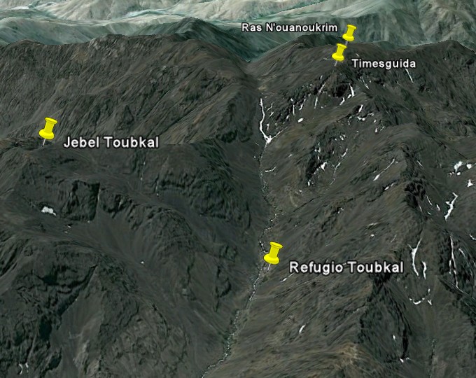
The goal of our journey is to discover the High Atlas area and particularly the Toubkal National Park and climb the main summits from the refuge of Toubkal: Toubkal, Timesguida, and Ras N'ouanoukrim.
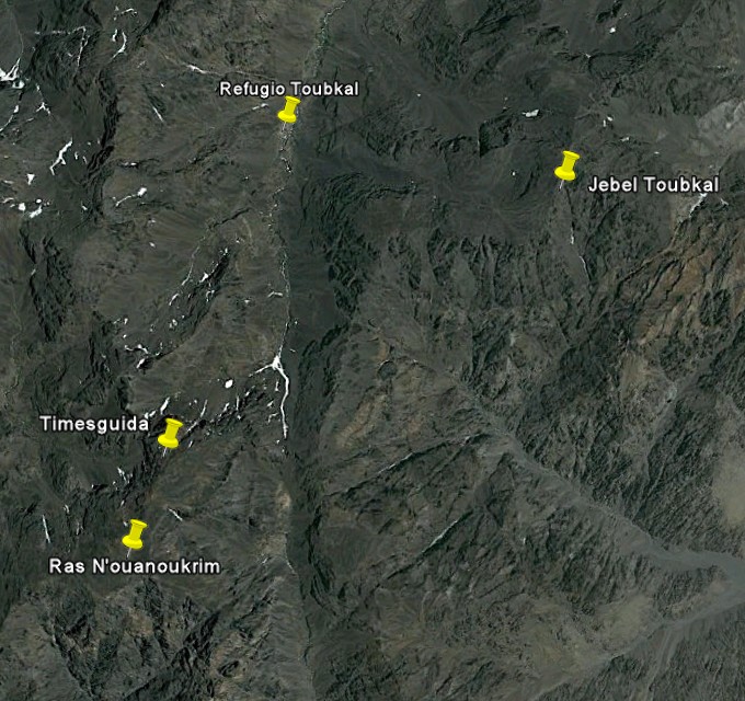
Normally, the ascent from the refuge to each of the three peaks takes four to five hours.
In the next image, which is oriented toward the south, we can see in three dimensions the situation of the three peaks and the refuge. As it can be seen, the refuge is located in a valley surrounded by mountains over 4,000 meters high.