Mexico's Volcanoes 2008

Climbing the main volcanoes in Mexico during the year 2008: Iztaccihuatl, La Malinche, Nevado de Toluca, and Sierra Negra
Idioma/Language: English Español - Visita también: Volcanes de México 2009 - Volcanes de México 2010
Climbing the main volcanoes in Mexico during the year 2008: Iztaccihuatl, La Malinche, Nevado de Toluca, and Sierra Negra
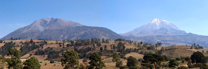
Sierra Negra (4,580 m) is a subsidiary summit of the Pico de Orizaba. In the next picture, Sierra Negra can be seen on the left and the Pico de Orizaba behind on the right:
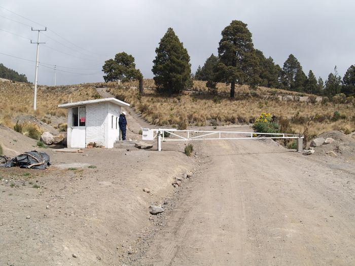
To get to Sierra Negra, we must leave the road 144 and take the road that leads to the towns of Atzitzintla and Texmalaquilla. About 7 km from Texmalaquilla, at a fork where there is a checkpoint that only allows authorized vehicles to pass, we can park and begin the route on foot.
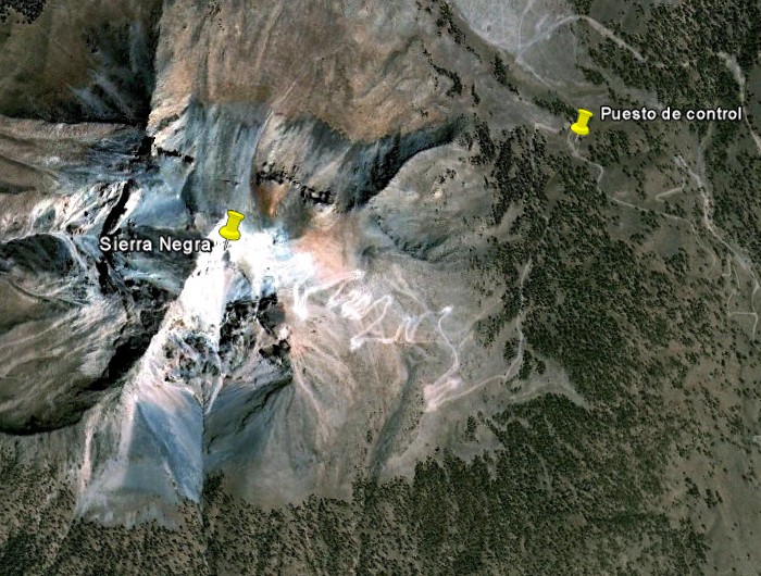
In the next satellite picture, we can see a track that leads from the checkpoint (puesto de control) to the summit of Sierra Negra. We can notice that at halfway the track has several switchbacks:
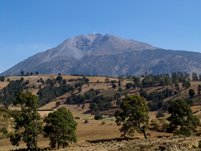
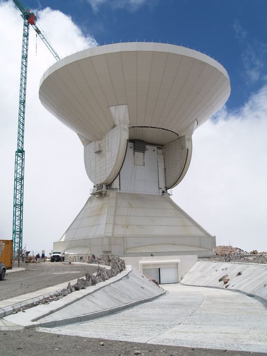
The climb of Sierra Negra is very easy, thanks to the dirt road that leads to the top. This road is used for the construction of a radio telescope, the Large Millimeter Telescope (GTM), and for the maintenance of the microwave-relay station that is located at the top. The service road for the radio telescope is claimed to be the highest road in North America.
In the next picture, we can see how the telescope stands out on the summit of Sierra Negra:
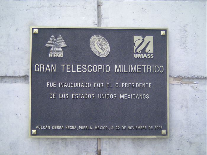
Although, according to a plaque, the Large Millimeter Telescope was inaugurated in November 2006, in May 2008 the construction was still going on:
The radio telescope has an antenna with a diameter of 50 meters and 2000 m2 of collecting area. It is one of the world's largest and most sensitive telescope in its frequency range. In the next picture, the size of the truck at the bottom left and the size of the radio telescope can be compared, it is huge!:
Sierra Negra is a fantastic vantage point to take pictures of the Pico de Orizaba.
More information: